
Download our Construction brochures
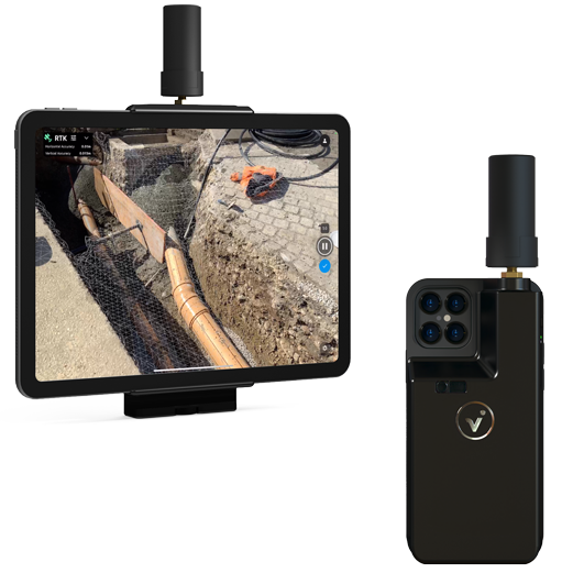
PIX4Dcloud
The online platform for ground and drone mapping, progress tracking, and site documentation.
Download the brochure
PIX4Dmatic
Next-generation photogrammetry software for fast & accurate terrestrial, corridor, and large scale mapping.
Download the brochure