
The future of drones and precision agriculture in Italy
Many growers around the world are facing a challenge: how can they sustain or increase yield productions while sharply decreasing chemical treatments to preserve the environment? This question is increasingly being answered by precision agriculture techniques. Reducing the use of pesticides or biostimulants has several benefits, including limiting agricultural pollution as well as reducing costs.
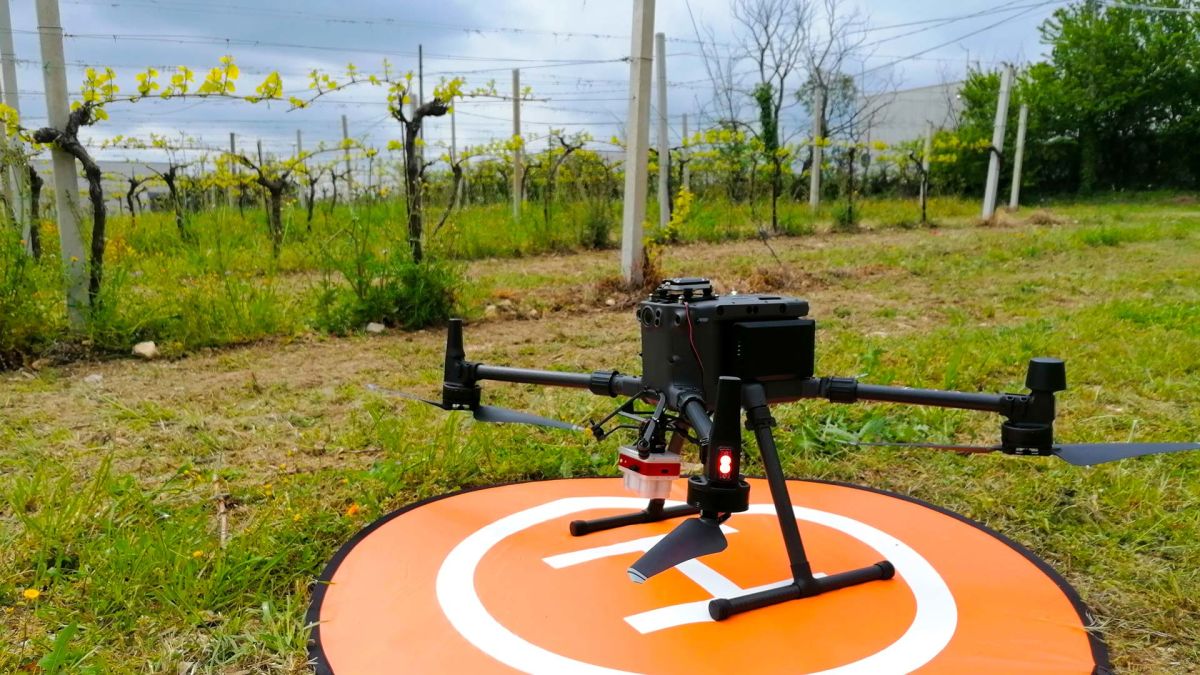
NETF DRONE, based in Milan and Chieti in Italy, are specialists in using drones for surveying, inspecting, and crop monitoring. Their workflow is to collect data, process and analyze it, and then provide a certified report to their clients. When working in agriculture, they provide specialized outputs including using thermal or multispectral imagery to get crop analytics.

They have recently partnered with the Italian Council for Agricultural Research and Economics (CREA), the Agricultural Technical Institute “C. Ridolfi” of Scerni, Corteva Agriscience, Horta Srl, and terraSmart. These organizations are part of a project called Pegasus - Agriculture of the future, which is an Italian national research project. Their aim is simple: to develop innovative solutions with advanced technologies and new methodologies to make agriculture production more efficient and sustainable. They are specifically focused on fertilizer and biostimulants and aiming to:
- Reduce treatment use
- Improve the efficacy of the treatments
- Carrying out treatment at the right physiological stage of the crops
- Appropriate use of the products - ensuring accurate quantity and timing of application
- Distribution with variable rate application equipment
The researchers focused on three crops: a vineyard, an olive grove, and durum wheat. The plan is to aerially map these crops repeatedly over the course of three years to analyze the benefits of variable rate application, as well as check the nutrient and chemical treatment levels in the soil, leaves, and surrounding environment.

Project details
| Location | Italy |
| Users | NETF DRONE |
| Hardware | DJI Matrice 300 RTK, MicaSense Altum multispectral camera |
| Software | PIX4Dfields |
| Areas surveyed | 1.17 ha vineyard 1.74 ha olive grove 0.95 ha wheat |
| Images captured | 266 (vineyard) 285 (olive grove) 220 (wheat) |
| Outputs | Orthomosaic, index maps |
| Processing time | 10 minutes |
Drone mapping for agricultural research with multispectral imagery
One of the main benefits of drones in agriculture is the ability to analyze multispectral data for plant health on a large scale. This is done with a specialized camera that can detect infrared light, capturing details that are not visible to the human eye. This includes the ability to differentiate shades and layers of green in crops that can provide insights into the health of the plant via the reflective properties of chlorophyll, which in turn can be analyzed in indices with the specialized precision agriculture software PIX4Dfields. Growers and cultivators all over the world are taking advantage of the capabilities of this workflow, from analyzing their own crops to testing the efficacy of treatment products.

Different indices provide different crop insights at different stages of growth. Their value comes from the fact that they can give insights into how crops vary across a field. Once the vegetation indices are used, agronomists can plan crop treatment plans, or prescription maps. These are then uploaded to specialized hardware that only sprays products where it is needed - a variable rate application system. These systems make a huge difference in treating diseased crops or eradicating invasive plants without badly damaging the overall ecosystem, which ensures sustainability and environmental safety.
In this case, the team used the NDVI, GDNVI, and MCARI vegetation indices amongst others. These measure factors including biomass and rates of photosynthesis to monitor plant stress. Each crop has different risk factors that will be analyzed:
- Vineyard: the vines are being analyzed for the impact of water stress on the oenological parameters of grapes destined for winemaking.
- Olive trees: the yield is affected by nitrogen and water levels. When the levels are too low, the mesocarp of the drupe, where the oil is stored, is affected. Getting the right balance will improve the olive oil yield.
- Durum wheat: many wheat farmers face the struggle of increasing productivity per hectare without losing crop quality, which happens if a breaking point is reached. Monitoring the crop’s stress will avoid over-exhausting the crops.
Long term agricultural research
The scale of this project is immense. It started in January 2021, and will continue for 3 years. Mission flights with drones will be flown every 20 to 30 days to evaluate the crops. Agricultural students and researchers will be included to ensure they understand the process and can contribute to it!

Lorenzo Gregoris, CEO and UAS specialist at NETF DRONE, said “the use of UAS technologies and innovative software like PIX4Dfields in the agro-industry sector has become of paramount importance because it gives us a complete diagnosis on the state of health of the soil and crops. The importance of data analysis allows us to act in advance to prevent any critical states and the onset of possible diseases.”
“This project is so special because it is a R&D project with the purpose to develop innovative solutions using advanced technologies and new methodologies that make agricultural production more efficient and sustainable.” - Lorenzo Gregoris, NETF DRONE
The progress of this project is incredibly exciting. Drones and photogrammetry are being used as a key tool for measuring outcomes, proving - as we already knew - the benefits of drones in agriculture. In two years time, when the project is completed, the results compiled by the drone team at NETF DRONE will be used a major contributor in planning the future of precision agriculture in Italy. It's the beginning of a new style of agriculture that is more environmentally friendly, efficient, and resource conservative whilst enabling farmers to sustain or increase their crop yields and decrease costs.


