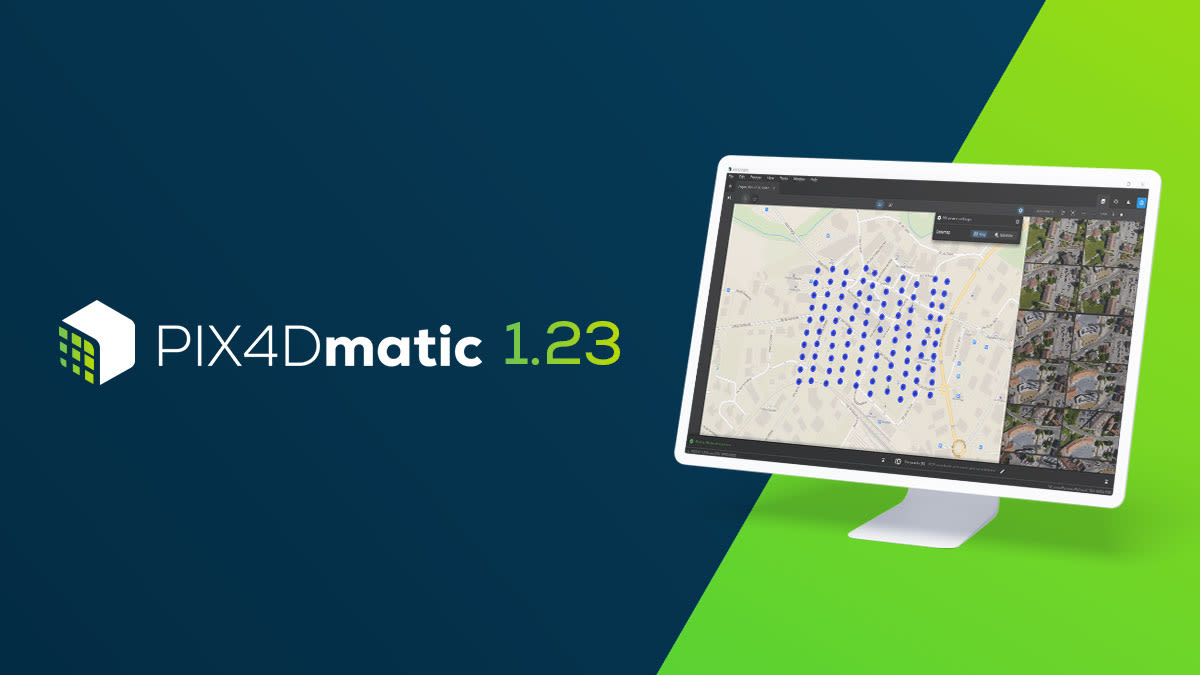
PIX4Dmatic 1.23: measurements, basemaps, and more!
PIX4Dmatic 1.23 is here, just in time for the end of 2021! The new update includes new accuracy and measurement options for both 2D and 3D projects, as well as two new Geoid systems and two new languages. Check out the DSM layer over the orthomosaic, which includes a seamless basemap which can be a map or satellite imagery. Our 3D view now also includes a distance measurement option, in addition to the option to export and import MTP marks. Scroll down to find out more!
New 2D viewing options
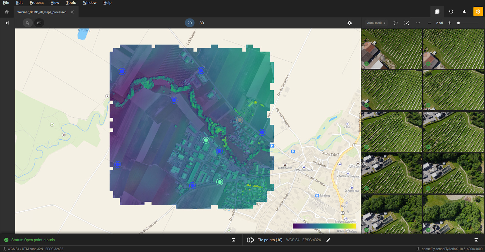
The orthomosaic is a vital tool for surveyors and with the newest update for PIX4Dmatic, you have more viewing options than ever for your 2D orthomosaics.
PIX4Dmatic 1.23 now has perfect basemap alignment. This means you can get context for your scene when you import images and GCPs or Checkpoints and for use in analysis after the creation of deliverables such as the orthomosaic or Digital Surface Model (DSM). PIX4Dmatic ensures a perfect alignment of the basemap with the orthomosaic, DSM, and project data by converting the basemap into the project coordinate system. This ensures the integrity and quality of the results as the adjustments are made to the basemap and not the processed results themselves.
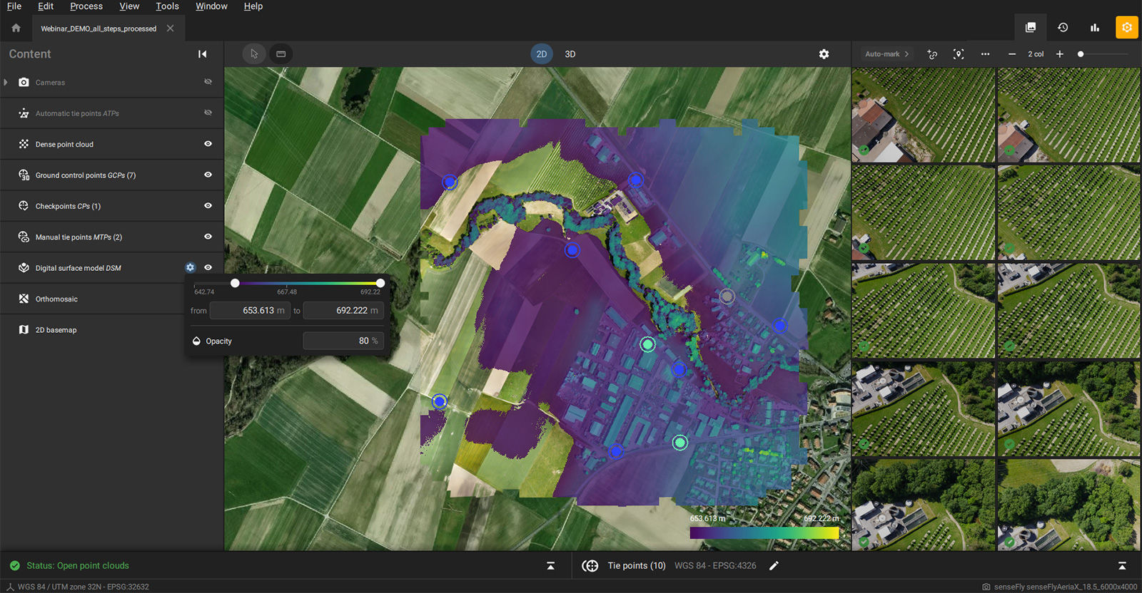
This is enhanced by several other new features. The first is the ability to change the color gradient of the DSM in the 2D view, which easily indicates changes in the elevation. The second is the option to adjust the opacity of the DSM, which enables users to view the elevation changes directly on top of the orthomosaic or the basemap.
The final exciting new feature for the 2D viewer is that you can now see the GCPs, Checkpoints, and MTPs as well as all the image positions at the same time. This helps to verify the distribution of tie points and to understand the imagery behind the orthomosaic better, which results in more control over the project.
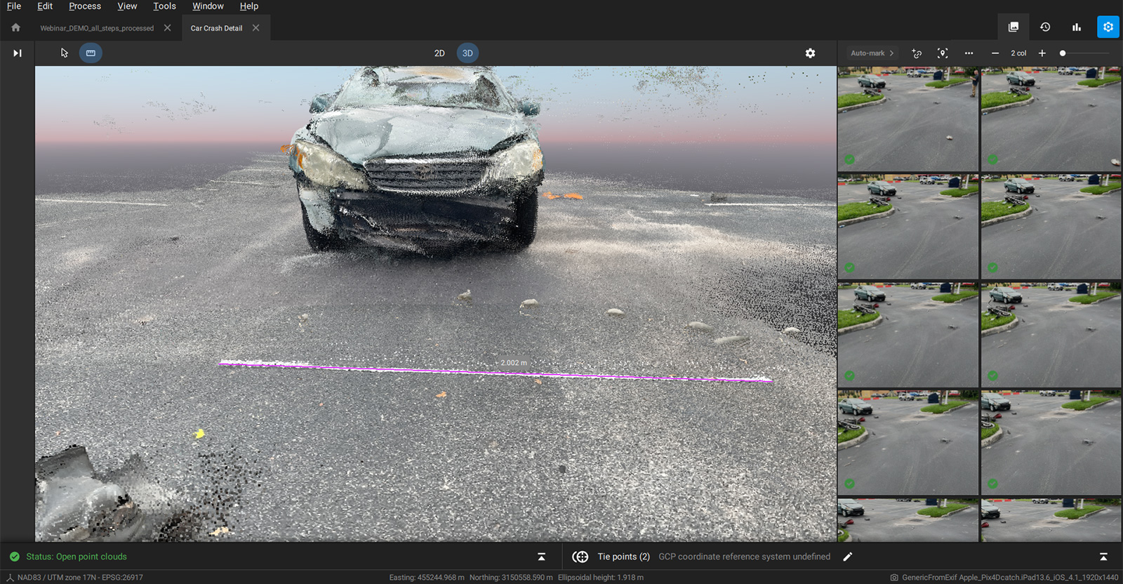
3D distance measurement tool
Following feedback from the Pix4D Community, the PIX4Dmatic team has been hard at work providing new tools that Pix4D users want, including distance measurements in the 3D view! This means that you can measure the space between two points and get an accurate number to use in your analysis or do a quick scale accuracy check. This is especially useful for professionals working with PIX4Dcatch for terrestrial photogrammetry that can include the public safety and public works industries.
PIX4Dcatch projects in PIX4Dmatic can fuse the LiDAR and photogrammetry point clouds - a feature introduced with PIX4Dmatic 1.19 - and easily exported to PIX4Dsurvey for further analysis (or preparation for CAD).
New languages and Geoid systems
Our team is also trying to ensure PIX4Dmatic can be used all over the world. With this in mind, we have two new languages now available on the software: French and Chinese! This means PIX4Dmatic is supported in Chinese, English, French, Japanese, and Spanish.
In addition, we now have support for Geoid systems from Mexico and South Africa - adding to the extensive list already available and cataloged on the Pix4D Support site.
It has been a busy year for our teams, and we’re looking forward to sharing more features and capabilities next year. There have been fascinating use cases on everything from precise site surveying to mapping disused power plants. Make sure you’re signed up for our newsletters and following us on social media so you can stay up-to-date with the latest developments from Pix4D.