
FROM IMAGE
TO IMPACT
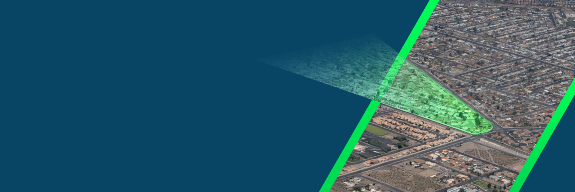
What if you could see what others can’t?
At Pix4D, we uncover what the eye can’t see. We turn complexity into clarity, uncertainty into insight
OUR MISSION
Improving the quality of living with secure and actionable data
We deliver data for a positive impact on society. Data with a higher purpose, improving the lives of people everywhere
OUR VISION
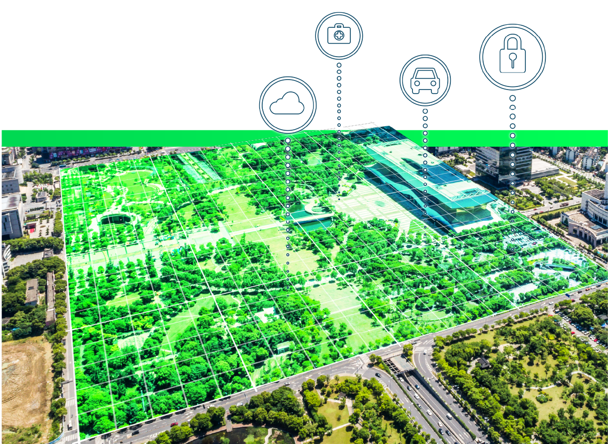
To make the invisible visible
We recognize what can’t be seen, transforming the hidden into data that is detectable, functional, and valuable
OUR VALUES
AGILITY + ADAPTABILITY =
INNOVATION
Fearlessly failing fast
Focusing on winning big
Leading the industry
INSIGHT + SECURITY =
TRUST
Understanding the customer
Providing actionable insight
Ensuring data security
VISION + FOCUS =
EFFICIENCY
Acting on objectives
Following the process
Delivering results
TEAM + TALENT =
ACCOUNTABILITY
Contributing individually
Assuming positive intent
Winning as a team

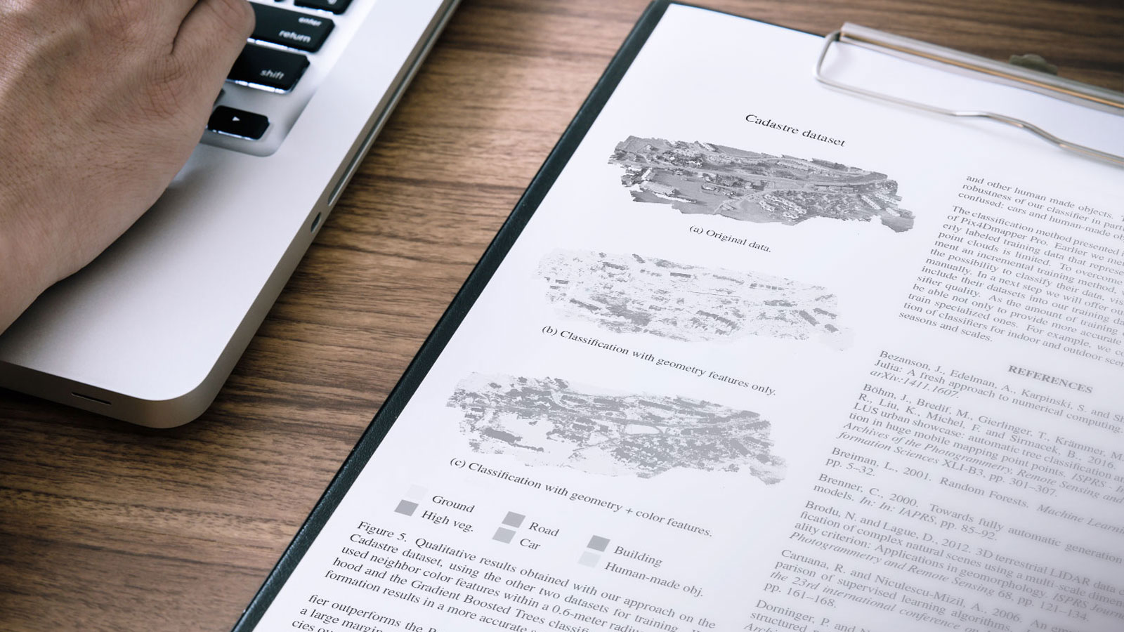
Founded on research
Research is in our DNA.
We believe that R&D is the key to pushing the boundaries of modern photogrammetry.
Our team members don't just contribute to our software. They contribute to the world's scientific knowledge.
Powerful papers published by the Pix4D team:
- Accurate Mapping of Subterranean Structures with Mobile Phones
- The Accuracy of RTK enabled Mobile Phones in RTK denied Areas
- Mobile Phone Based Indoor Mapping
What we serve ?
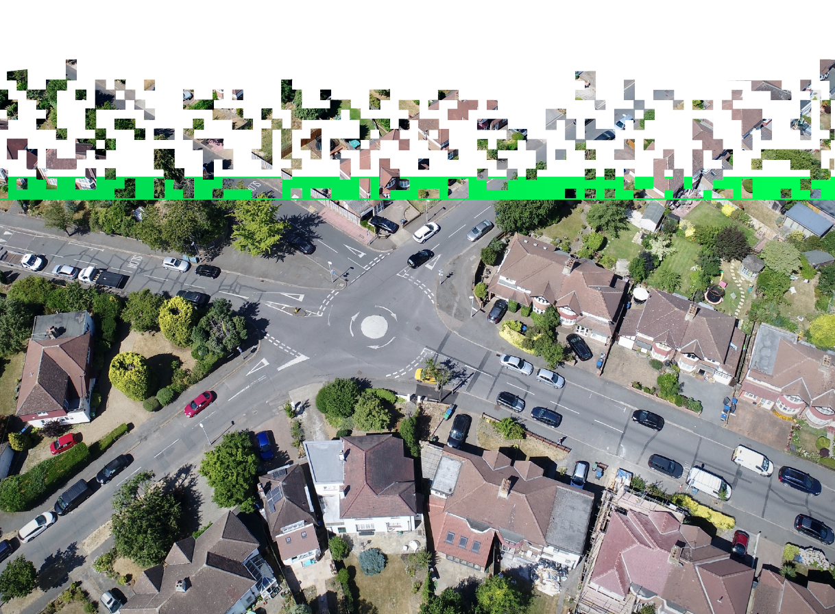
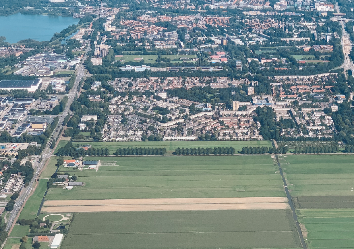
Pix4D is a global leader in photogrammetry software, delivering end-to-end mapping solutions that transform images into precise maps and 3D models.
Our technology has a wide range of applications, helping industries and communities address real-world challenges:


Data with a higher puropose
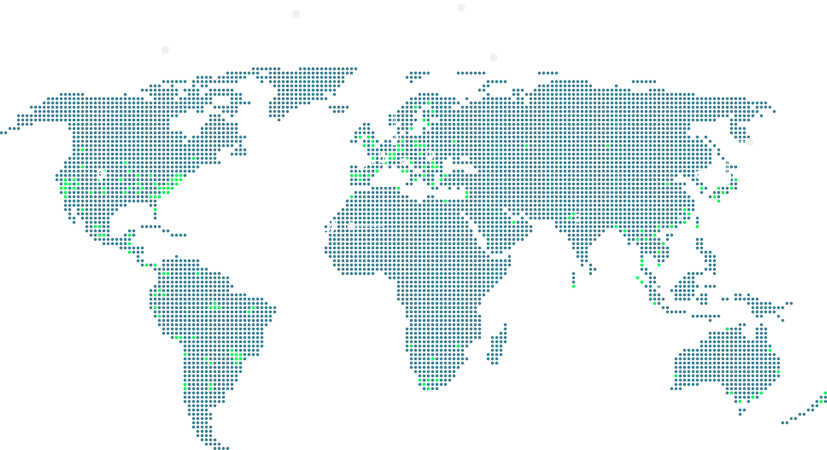
Used in 200+ countries to protect lives, build infrastructure, and grow agriculture sustainably.
Switzerland
Pix4D S.A. | LausanneRoute de Renens 24 1008 Prilly, Switzerland
Sales: +41 21 552 05 90 Administration: +41 21 552 05 96


Spain
Pix4D Spain S.L. Calle de Goya 36, 28001 Madrid, Spain +34 (0) 644 824 725

United States
Pix4D Inc. 6041 S. Syracuse Way, Suite 320 Greenwood, CO 80111 +1 720 204 8069

Germany
Pix4D GmbH Münzstraße 19 10178 Berlin, Germany +49 30 403666270

Japan
Pix4D Co., Ltd. Ichigo Shibuya East Building 5F, 1-3-10 Higashi, Shibuya, 150-0011 Tokyo, Japan

Romania
Pix4D Romania S.R.L Aleea Veronica 36 Tamași, Ilfov 077068 Romania